

ST. LOUIS — Tuesday is hot, humid and breezy with low 90s by the afternoon hours. It's that heat and combined humidity that will trigger thunderstorms into the evening and overnight hours as a cold front approaches. Storms are expected after 8 p.m. in the metro and last through 2 or 3 a.m. Wednesday morning south and east of the metro. The strongest storms will likely be on the Missouri side of the river with destructive winds and hail the main risk. There is also a secondary risk of tornadoes, but the greatest risk of that happening is expected in northern Missouri and Iowa.
By Wednesday, the cold front is still attempting to make it through our area. As it lingers in some parts of our area, chances for severe storms may also continue for a time east and southeast of St. Louis.
The unsettled pattern lingers through the Memorial Day weekend with showers and thunderstorms from time to time. It is too soon to say if any of the storms over the long weekend will be severe, but surely some will be strong.


ST. LOUIS METRO FORECAST
Today: Mostly sunny to partly cloudy, breezy hot and humid. Highs in the lower 90s. (The record high is 93)
Tonight: Strong to severe evening storms, otherwise mostly cloudy and breezy. Lows in the 60s.
Wednesday: Variable cloudiness with shower and thunderstorm chances increasing by mid-day into the afternoon, especially south and east of the metro area. Strong to severe storms will be possible mainly south and east of the metro. Highs near 80.
Thursday: Partly sunny, staying humid, storm chances. Highs in the low 80s.
Friday: Partly cloudy, storm chances. Highs in the low 80s.
Saturday: Partly cloudy, storm chances. Highs around 80.
Sunday: Partly cloudy, storm chances. Highs in the low 80s.
Monday: Partly cloudy, storm chances. Highs in the low 80s.
Tuesday: Partly cloudy to mostly sunny, slim storm chance. Highs in the near 80.
Wednesday: Mostly sunny...highs in the low 80s.
Thursday: Mostly sunny...highs in the low 80s.
Latest High-Resolution Model Output:
Download the free 5 On Your Side app to get the latest watches and warnings and track conditions live with our interactive radar. Use the links below to download now.
The Weather First Team will use "Storm Alert" to refer to life-threatening or major-impact weather conditions in our region. "Weather Alert" refers to nuisance or disruptive weather and is indicated by orange icons and bars in our weather graphics on TV and online.
5 On Your Side news app
iPhone | Google Play
To watch 5 On Your Side broadcasts or reports 24/7, 5 On Your Side is always streaming on 5+. Download for free on Roku or Amazon Fire TV.

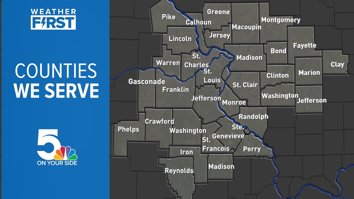
In Missouri, we serve these counties: Crawford County, Franklin County, Gasconade County, Iron County, Jefferson County, Lincoln County, Madison County, Perry County, Phelps County, Pike County, Reynolds County, St. Charles County, St. Francois County, St. Louis City, St. Louis County, Ste. Genevieve County, Warren County, and Washington County.
In Illinois, we serve Bond County, Calhoun County, Clay County, Clinton County, Fayette County, Greene County, Jefferson County, Jersey County, Macoupin County, Madison County, Marion County, Monroe County, Montgomery County, Randolph County, St. Clair County, and Washington County.


Listen to Weather First updates with your radio on 93.7 The Bull or 103.3 KLOU.